
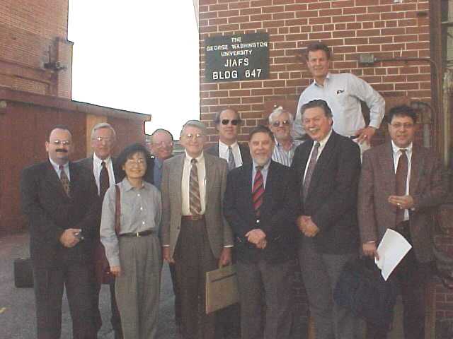
On November 5, 1999, a group of faculty from the School of Engineering and Applied Science traveled to Hampton, Virgina to visit the Joint Institute for the Advancement of Flight Sciences (JIAFS). JIAFS, which is located at the NASA facility on Langley Air Force Base, is a joint GW-SEAS/NASA institute that has been in business for more than 25 years. About 150 full-time students study at JIAFS. In edition, the institute undertakes a large research project jointly with NASA, other federal government agencies, and federal contractors. A significant part of the NASA operation (and therefore JIAFS) involves environmental and energy management applications of remote sensing and high altitude imagery. These include:
|
Fisheries Applications. To complement observations made on ship-borne from the sea surface. These observations can help in characterizing environmental factors that affect fish habitat.
- Insurance/Disaster Management Applications. For forecasting severe storms and floods, landslide probability, land condition changes, drought/crop failure, beach erosion, among others.
- Transportation Applications. To provide a major addition to GIS (Geographical Information Systems) databases used for transportation planning and construction. These include improving aviation forecasting, analyzing surface construction, mapping road networks, analyzing urban growth, and managing inland waterway logistics.
In addition to discuss JIAFS programs, the faculty members held a meeting of the SEAS Research Advisory Committee, chaired by Professor Shahram Sarkani.